
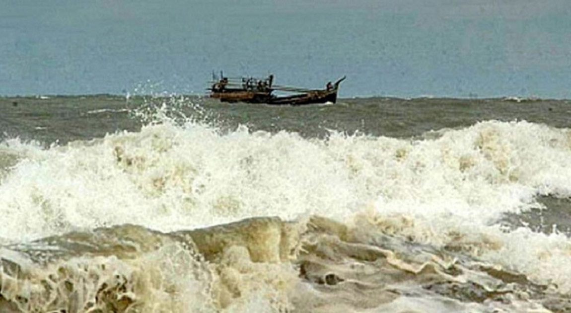
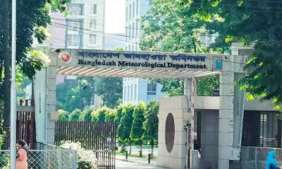
The low-pressure system over the west-central Bay of Bengal has intensified into a depression while moving north-northwestward, the Bangladesh Meteorological Department (BMD) said on Wednesday.
The depression may further intensify into a deep depression, bringing gusty or squally winds over coastal regions. In its special weather bulletin issued in the afternoon, the BMD advised Chattogram, Cox’s Bazar, Mongla, and Payra seaports to hoist local cautionary signal No. 3.
At 3:00 pm Wednesday, the depression was located about 915 km southwest of Chattogram seaport, 865 km southwest of Cox’s Bazar, 800 km southwest of Mongla, and 795 km southwest of Payra seaport.
“It may move further north-northwestward and intensify into a deep depression. Under its influence, steep pressure gradient persists over the north Bay of Bengal. Squally weather may affect the north Bay, adjoining coastal areas of Bangladesh, and maritime ports,” the bulletin said.
Within 44 km of the depression center, maximum sustained wind speed was recorded at 40 kmph, rising to 50 kmph in gusts. The sea is rough near the system.
Fishing boats and trawlers in the north Bay of Bengal have been advised to remain close to the coast and proceed with caution until further notice, keeping safe shelter within reach.
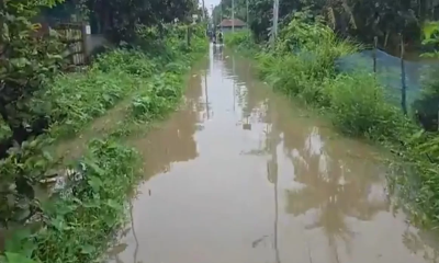
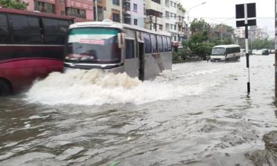
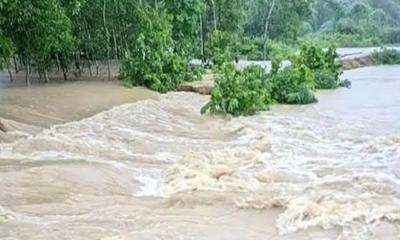
Meanwhile, between Wednesday morning and Saturday morning, heavy rainfall is expected in Dhaka, Chattogram, and Rajshahi divisions, as well as in upstream regions of Assam and Tripura in India.
The Flood Forecasting and Warning Centre (FFWC) has predicted possible flooding in low-lying areas of Chattogram, Feni, Lalmonirhat, Nilphamari, Sherpur, Mymensingh, and Netrokona districts.
Heavy rainfall has already begun across parts of the country since Tuesday midnight. Dhaka recorded the highest rainfall in the country—203 mm in 24 hours—with 132 mm falling between midnight and 6:00 am Wednesday.
Meteorologists have warned that heavy rainfall may continue until Saturday, cautioning authorities to take necessary steps to prevent severe waterlogging.

-(15)-20260714134314.jpeg)


-20260707132332.jpg)


-20260712062551.webp)