
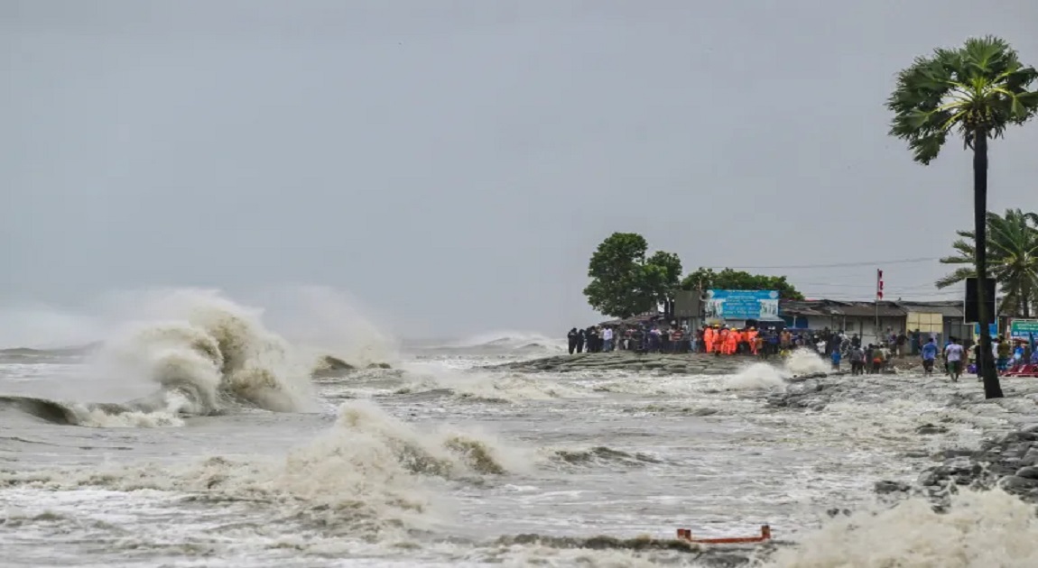
A deep depression over the Bay of Bengal has begun crossing the coastal regions of Bangladesh, triggering rain and strong winds across multiple areas.
The weather system started making landfall around 3:30 PM today near the border between Sagar Island in India and Khepupara in Bangladesh, and is expected to complete its passage by this evening before gradually weakening.
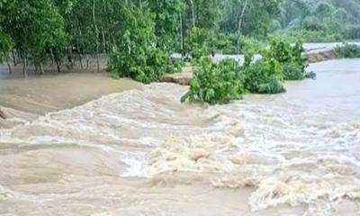
Due to the combined effect of the depression and the new moon, storm surges 2 to 4 feet higher than normal are expected to inundate low-lying coastal districts.
These include Chattogram, Noakhali, Laxmipur, Feni, Chandpur, Bhola, Hatiya, Sandwip, Barguna, Patuakhali, Barishal, Pirojpur, Jhalakathi, Bagerhat, Khulna, and Satkhira, along with nearby islands and river islets.
Within 48 kilometers of the depression’s center, sustained wind speeds are reported at 50 km/h, with gusts reaching up to 60 km/h.
Sea conditions near the center remain rough, prompting authorities to advise all maritime ports — Chattogram, Cox’s Bazar, Mongla, and Payra — to hoist Local Cautionary Signal No. 3.

-(15)-20260714134314.jpeg)


-(19)-20260714174729.jpeg)


-20260707132332.jpg)


-20260712062551.webp)
-20260711072618.jpg)