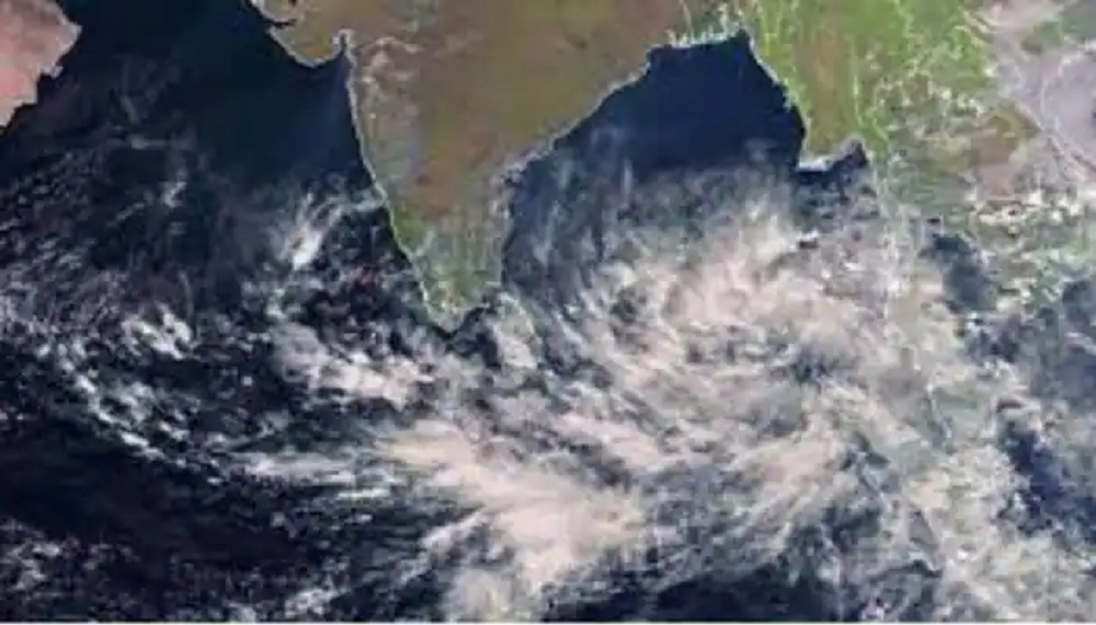
Cyclonic storm Mandous over the Southwest Bay of Bengal and adjoining area has moved west-northwestwards and intensified into a severe cyclonic storm over the same area.
"There is no possibility of the severe cyclonic storm lashing the Bangladesh coast, and it is likely to cross over India's Andhra Pradesh and Tamil Nadu coasts. It may weaken into a cyclone and then into a deep depression while making landfall," Meteorologist AKM Nazmul Haque of the Bangladesh Meteorology Department (BMD) told media.
The maritime ports of Chittagong, Cox's Bazar, Mongla and Payra have been advised to keep hoisting distant warning signal No. 2, meaning a storm – wind speed of 62-88km per hour – has formed in the distant deep sea; ships may fall into danger if they leave the harbour.
As of 6am today, the storm was centred about 1690km southwest of Chattogram port, 1640km southwest of Cox's Bazar port, 1560km southwest of Mongla port and 1565km southwest of Payra port.
"All fishing boats and trawlers over North Bay and deep sea have been advised to come close to the coast and proceed with caution. They were also advised not to venture into the deep sea," the BMD said.
"The sea will remain very rough in areas near the cyclone centre, with the sustained wind speed within a 64km radius rising up to 117kph in gusts."


-20260325042815.jpg)


-20260324062944.jpeg)


-20260319034653.jpeg)

-20260318155800.webp)

-20260319025313.jpg)


